Browse Tag: Running

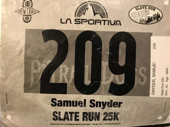
Slate Run 25K

The Mountains of Lycoming County, PA


200 + 16 + 200 = A LOT OF MILES!

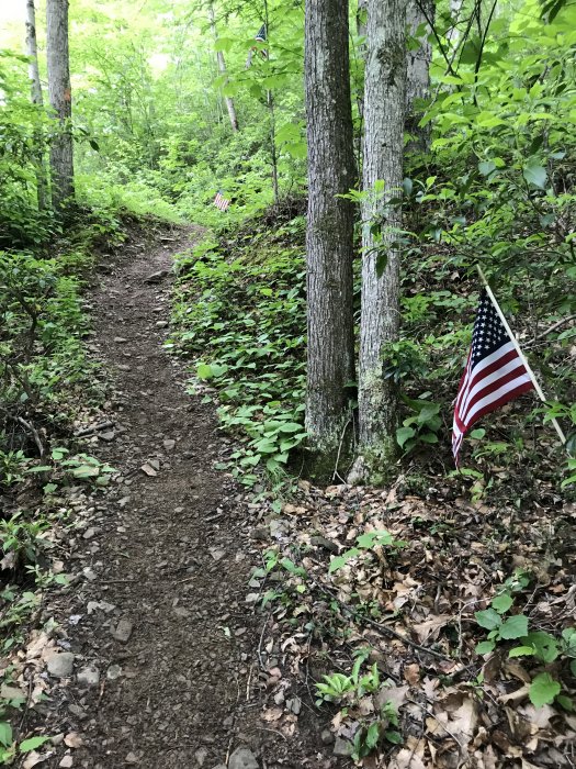
Is getting up at 4 AM on a Saturday (making your wife and two-year-old do so also) to drive 200 miles in order to hop out of the car and run 16 miles worth of rocky muddy trails up and down big central Pennsylvania mountains crazy?

Most people would say, “YES!”

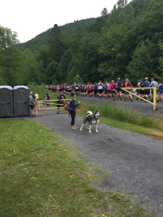
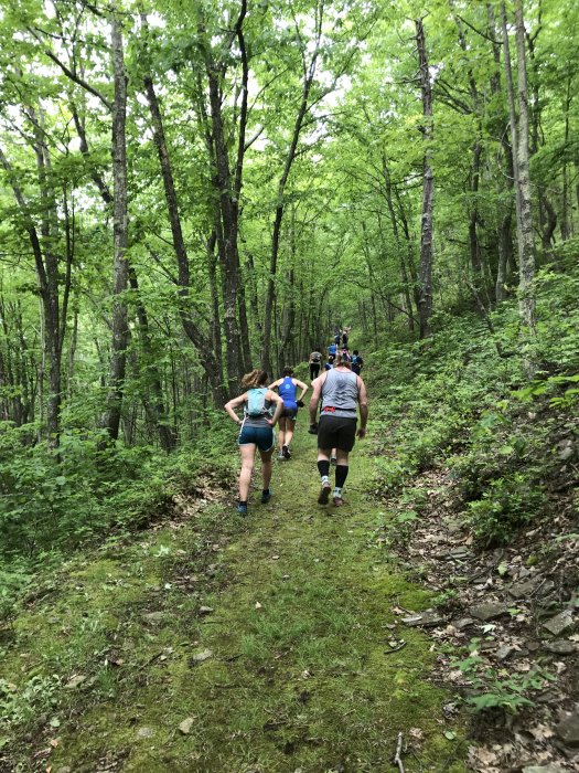
But as you can see in the pictures below, I was accompanied by 249 equally crazy friends! I don’t know how far anyone else had to drive that morning, but it’s a safe bet that a large percentage would have done just what I did for the opportunity to run in those hills. If you are crazy enough to enjoy running on the mountains for multiple hours, riding in a car for three hours is no big deal.

This is what I did on June 1 in order to run in the Slate Run 25K trail race in Slate Run, PA.
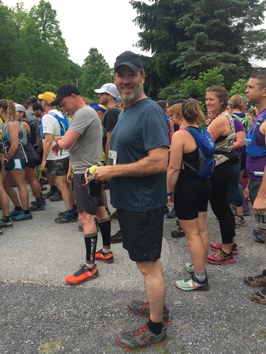
 

The face of a crazy man about to punish himself for 16 rocky, wet, muddy miles


Approximate number of miles I had traveled by the halfway point of the race… also how old I felt at that point.


And away we go!


A Picture Is Worth a Thousand Words, But Not Many Feet of Elevation

Photos never do justice to elevation. The mountains never appear as tall as they are in person. And photos can’t convey the burning in your thighs when you are climbing up, up, up and then finally the ground levels out at a scenic view… only to round a bend and continue up, up, up. Your thighs burn and the pictures are silent about it.

The pictures also don’t show how good it feels once you get to the top of the mountain and you can run on wonderful single track trail for a few miles. Then your thighs come alive!
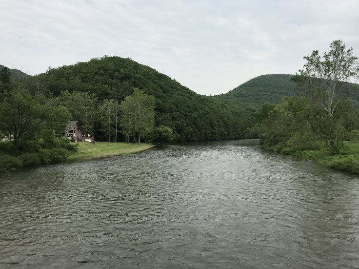
 

Crossing Pine Creek in Slate Run, PA


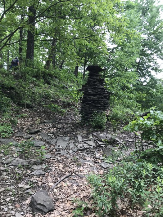
Someone had too much time on their hands. (Says the guy who spent 5 hours and 8 minutes traversing trails for the fun of it.)


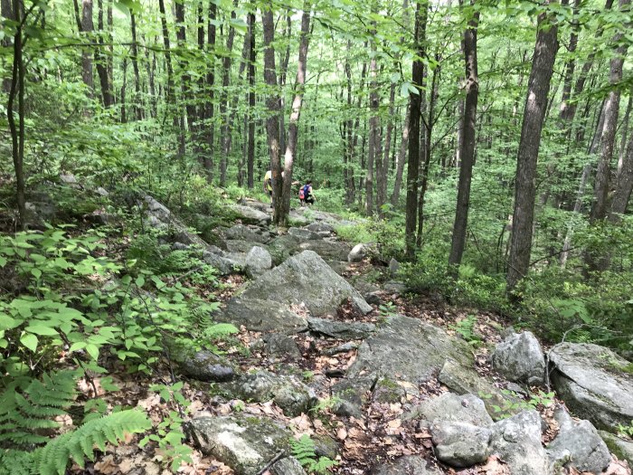
Don’t slip.


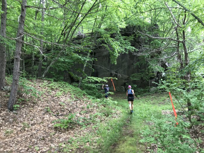
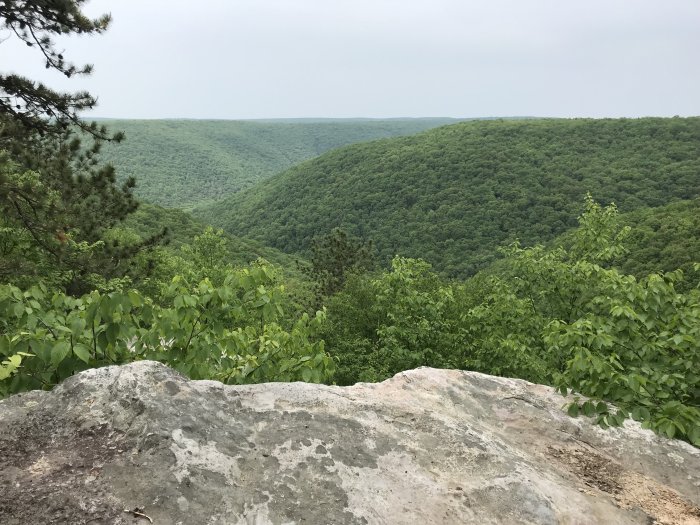
How did this big rock get up here?


Up and up and up


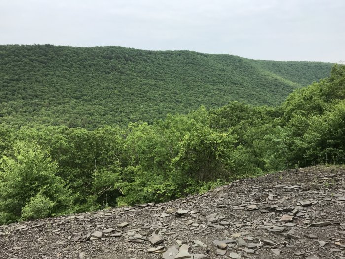
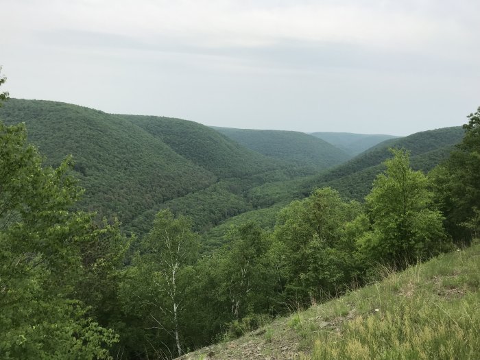
The view is worth the climb.


Don’t jump.


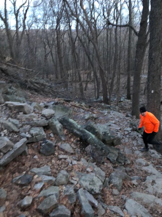
I bashed a shin pretty good going down these rocks.


Approaching Aid Station #2 around mile 8


So Much Water!

There was so much water after the second aid station! The trail insisted on weaving it’s way back and forth across the streams, sometimes knee-deep. That mountain water was rather chilly! By the time I crossed a road around mile 10, my feet were numb. I mentioned this to a volunteer at the road crossing. Her response? “Welcome to Pennsylvania!” She also asked if I needed water, which struck me as ironic after I just complained about. She said the next aid station was only 2 miles away. So I kept plugging along.

After the road, the trail continued uphill through more water. That’s where I hit the wall. The 200 miles of driving caught up with me. My feet hurt from the cold water. There was no end of it in sight. I was no longer running. I was stopping more often. I started counting my steps, forcing myself to do 3 sets of 10 steps before I stopped to catch my breath. I got angry at myself each time and stopped at step 8 just to be a jerk to myself. The water was roaring down the mountain. I so wanted to lie down in dry silence. Someone passed me at that point. He said, “I think we’re getting closer to the top.” I sarcastically thought, “Aren’t we constantly getting closer to the top with each step? But that doesn’t mean we are close to the top!” I don’t think I said it out loud.

Near the top, the water slowed and quieted. I stuck my hat in and splashed water all over my head. That snapped me back to reality a bit and I continued on in better spirits.
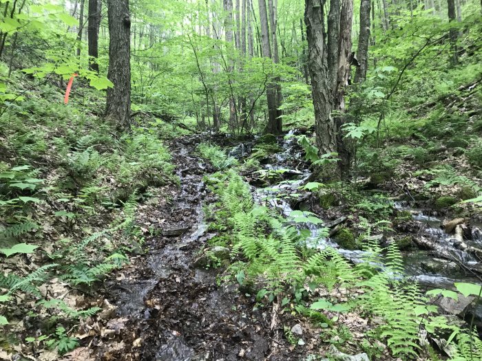
 

I should have taken more pictures of the water. This was pretty much the last of it.


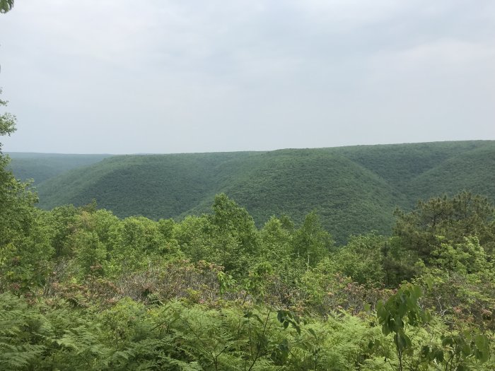
A look across to the area we passed through in the first half of the race


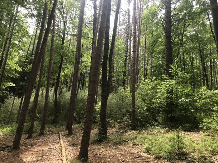
Peaceful. Sometimes I want to stay in the woods forever.


I finished 164th out of 250.


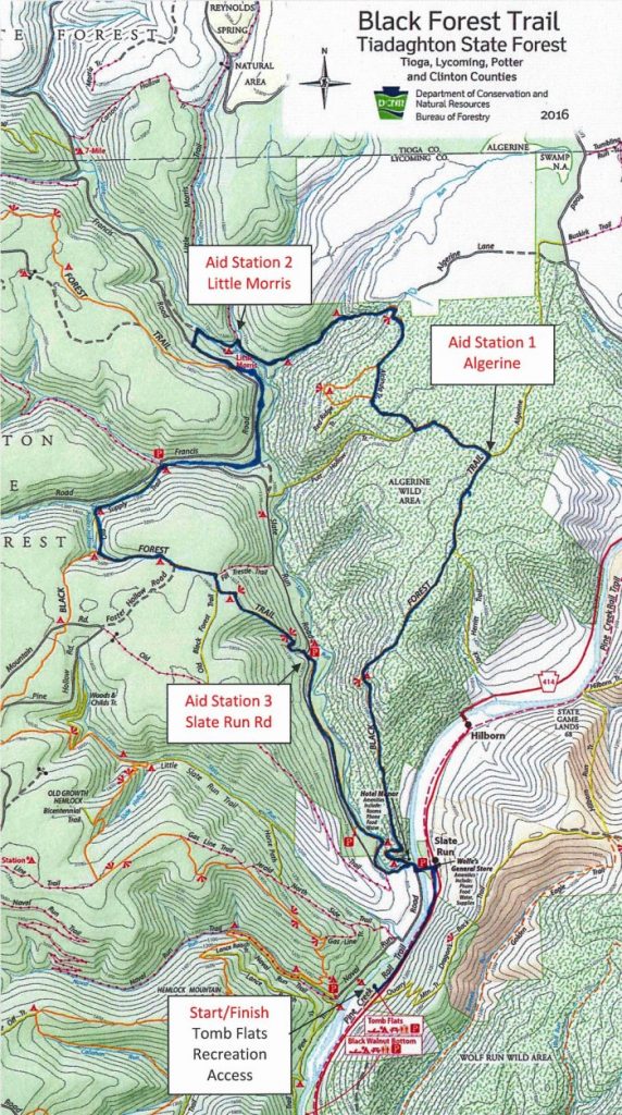
The Course


Enjoy Your Ride Home! Come See Us Again!

At 5 hours and 8 minutes, I hobbled over the finish line. Spasms in my hamstrings. Spasms in my thighs. Spasms in one of my calves. I moved like an ape in running shoes. But I finished.

Then I remembered: We still had to drive 200 miles home. We were a good ways from civilization. When we got to Danville we stopped at Wendy’s and I pigged out. (I pigged out for a bunch of days actually.) The spasms hit me off and on while my wife drove. Later she said, “Maybe you should give this up. You’re in pain and you don’t look like you’re having fun now.”

This race is scheduled for June 6, 2020. As soon as I shake these spasms I think I’ll walk on over to my computer. “Hello, ultrasignup.com.”

Early Morning Run at the Water Gap

Leaving the house at Zero Dark Thirty

I left the house at 5:30 AM to meet my son for a 6:00 start at the Delaware Water Gap. Our goal was to run a 10 mile loop twice: up the Red Dot Trail on Mt. Tammany, along the ridge on the Tammany Fire Road, the Turquoise Trail over to the AT by Sunfish Pond, the AT back to the start. And… Finally! The trails at the Delaware Water Gap were free of snow!

The run was tough going for me. I felt slow and tired. We got to mile 7 and what I thought to be a small stone in my shoe turned out to be a blister on my heel. By the time we finished the first loop, I had blisters on the backs of both heels. I put Band-Aids on them and started up Mt. Tammany again. My heels were ON FIRE!
Halfway up the mountain I started getting spasms in my hamstrings. I had taken Endurolytes and Sports Legs to prevent spasms. But that wasn’t enough to overcome the fact that I had not run more than 7 miles in one shot in months. The second time up the mountain got me. It seemed to take forever to make it.

I knew I couldn’t make the full 20 miles. So I sat on a rock and bemoaned my miserable condition. While my son continued on the full loop, I took the Blue Dot Trail back down to the parking lot. I was done.

I made it 13 miles. But according to my crazy training plan I should have done 21. Things are not going according to plan. But here are some photos.

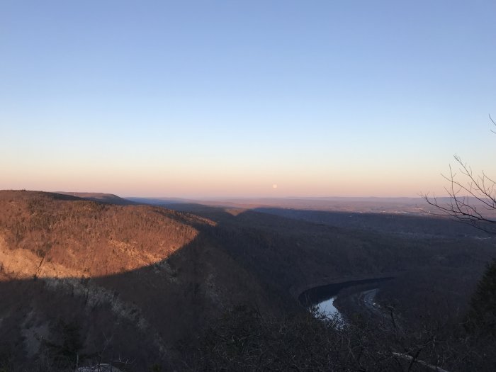
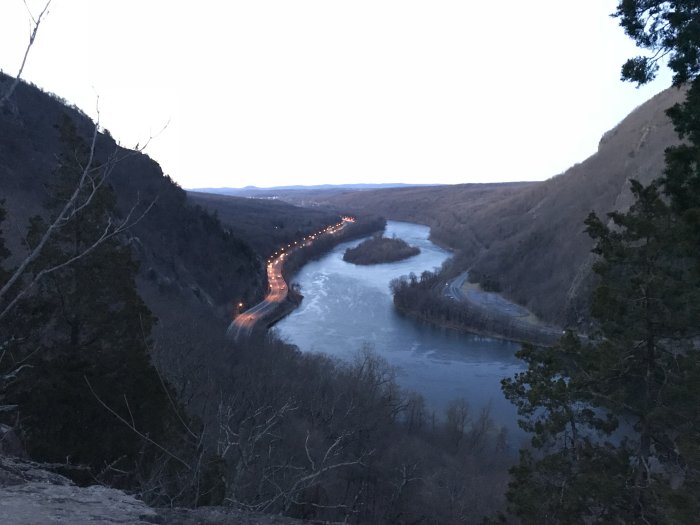
Looking through the Gap just before sunrise
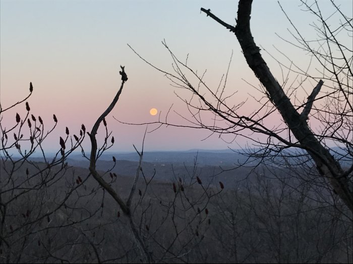
The Moon in the Belt of Venus, halfway up Mt. Tammany
Giving it my best on Mt. Tammany
Sunshine on Mt. Minsi, the shadow of Mt. Tammany, the Delaware River, the Poconos, the Moon, the Belt of Venus… all beautiful!
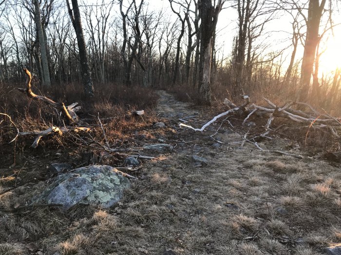
A snow-free Tammany Fire Road

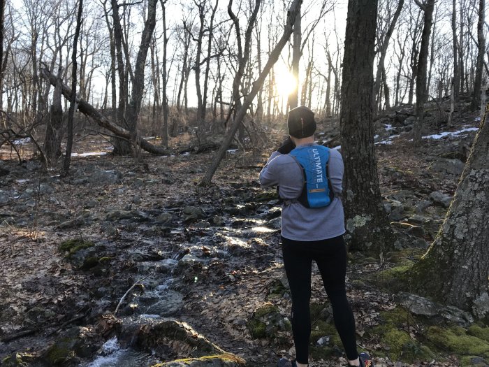
My son taking in the beauty of the early morning sun and the snowmelt along the Turquoise Trail
Sunfish Pond

THE END
(Once the blisters start, fuck taking any more pictures.)

While Sitting on a Rock in the Woods

When you reach mile 11, have blisters on your heels, spasms in your hamstrings, and come to terms with giving up the 20 miles you had planned, getting off the mountain, and settling for 13… while sitting on a rock in the woods and feeling like a loser.

Again?

Season’s Greetings! It might as well be Christmas with all the snow we’ve been getting!

Week 3 of my 50K training. I was shooting for 12 miles this week. But seeing as we had a nor’easter AGAIN a few days ago, I was sure the trails would be covered even more than last week. I knew that attempting to gain miles via the Tammany Fire Road was not a workable plan. Reaching 12 miles by doing Tammany loops (3.35 miles each) would mean up and down Mt. Tammany 4 times. When I got up at 4:30 AM I knew I didn’t have it in me to make it 4 loops, especially with increased snow on the trails.

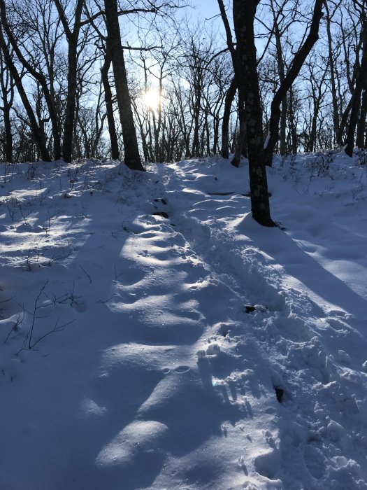
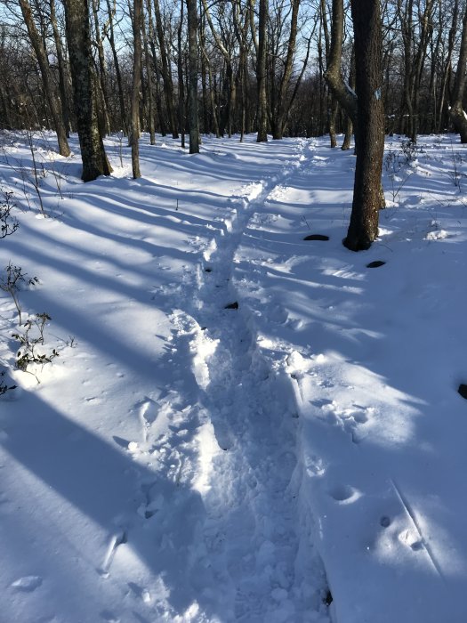
When I arrived, I soon found that the snow was deeper on the trails as I suspected. It was mildly packed on the Red Dot Trail. It was less packed on the Blue Dot Trail. That made for a super fun descent on the mountain. Most of the rocks were well covered. Running on the narrow slightly packed single tracks was a breeze. The steeper sections of the trail were less packed and a lot of fun to careen through! I knew if I fell it wouldn’t matter. I would just land in deep snow. It felt like being a kid again! Plus, I set my fastest times ever on that trail. But I only had enough in me to do 2 loops, not nearly 12 miles.

Here are several photos.

The sun rising about Mt. Tammany
Another beautiful view of Mt. Minsi
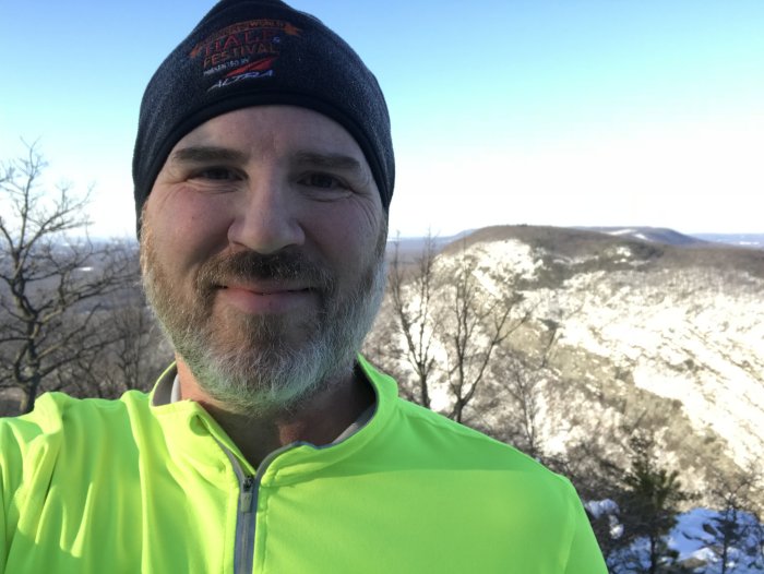
This shirt makes me look like a 6-foot tall highlighter running through the woods.
Sun and single track on the Blue Dot Trail
Pleasant single track over a very rocky stretch of the Blue Dot Trail
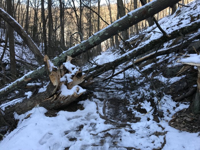
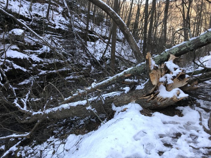
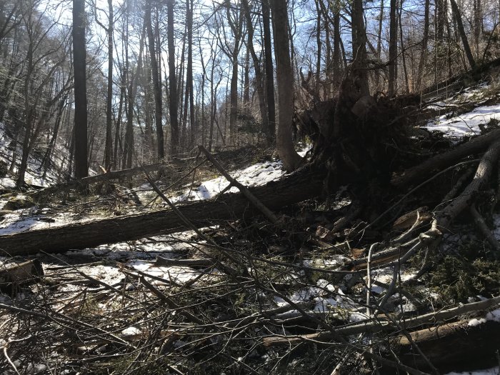
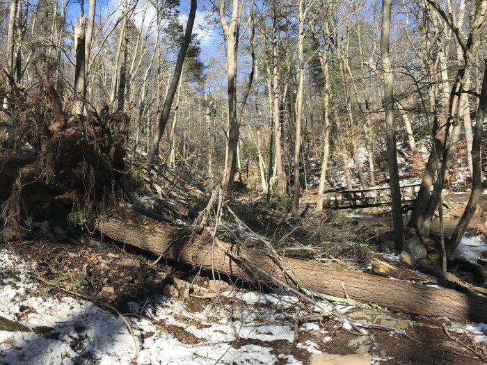
Nor’easter wreckage along Dunnfield Creek

90 Minutes of Pure White Snow

Snow on Mt. Tammany ahead

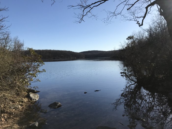
Last week’s training run took me to Mahlon Dickerson Reservation. This week’s run took me to Mt. Tammany at the Delaware Water Gap, one of my most favorite places on Earth.

My training plan called for 9 miles this week. The plan starts at 6 miles and adds 3 miles each week. I know it’s not the best idea, but I’ve become a bit of a lunatic in my plans in order to get ready for a 50K on April 21 that I really do not want to miss. So I set out for the Gap with 9 miles in mind.

However, there are always things that challenge my accomplishment of all the miles I have in my mind. For one, a nor’easter covered northern New Jersey with several inches of snow a few days before. Also, my family’s schedule has gotten pretty hectic with a toddler in the house, both my wife and I working full time (she working two careers), and both of us needing time to run. The first challenge made the trails harder to run on. The second group of challenges means my time for exercise has decreased, which means my physical conditioning has decreased. I should add one other factor here. My weight has increased. Lugging myself up a mountain is no small feat at this point.

What follows are photos (and a video) and some comments in three sections: The Way Up, The Fire Road, The Way Down.

The Way Up

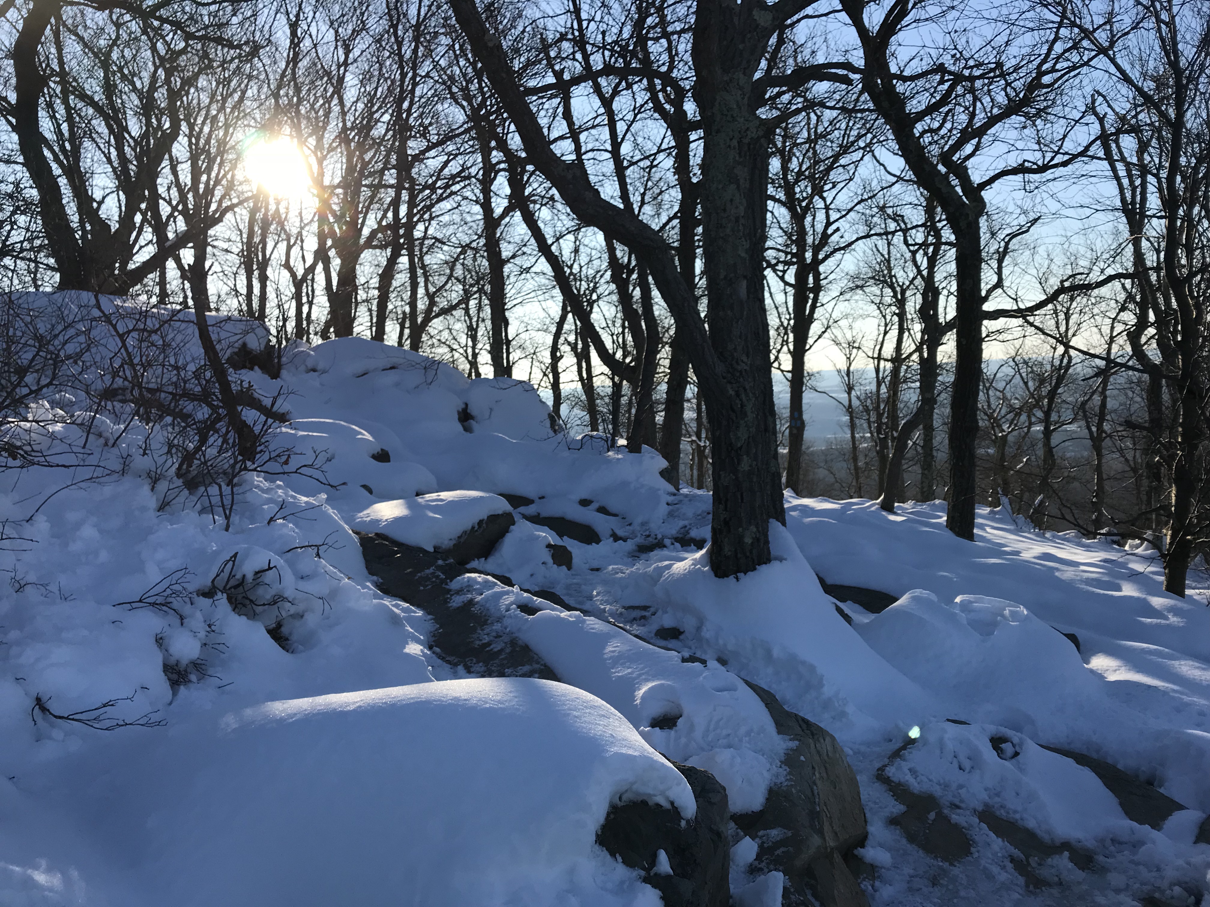
The snow made for gorgeous scenery. The Red Dot trail up Mt. Tammany was packed with snow, not too hard to navigate. The views were beautiful.

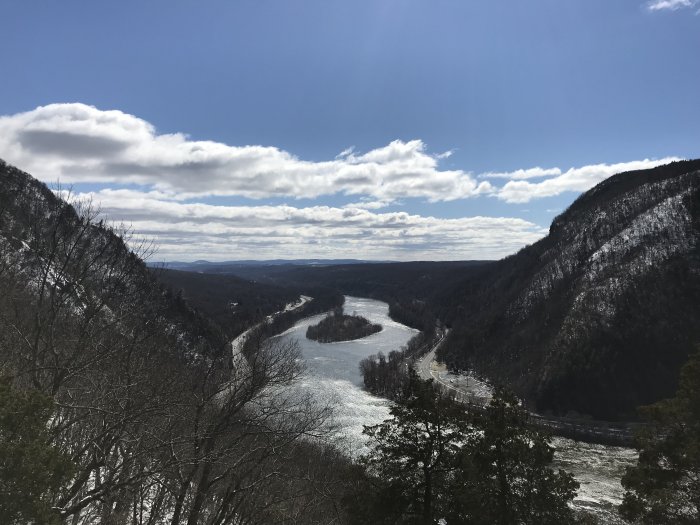
Looking through the Gap down the Delaware River, one third of the way up Mt. Tammany
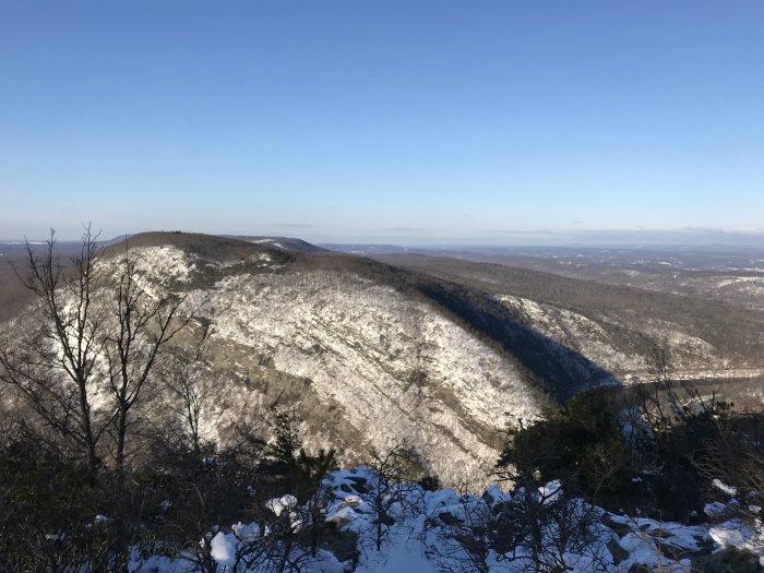
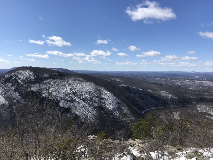
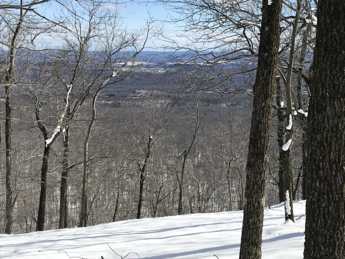
The view from Mt. Tammany looking over the Delaware River, Mt. Minsi (PA) and the Poconos

The Fire Road

One aspect of my family’s tight schedule is that my wife often works on the weekends. Add a snowstorm into the mix and time becomes even more limited. Due to that snow, I postponed running until Sunday, but had to wait until the afternoon when my wife got home. Well, that added another challenge. By the time I got to the Gap, there were quite a few people on the trails. That just makes it hard to run while maneuvering around folks, something that contributed to badly injuring myself in 2016.

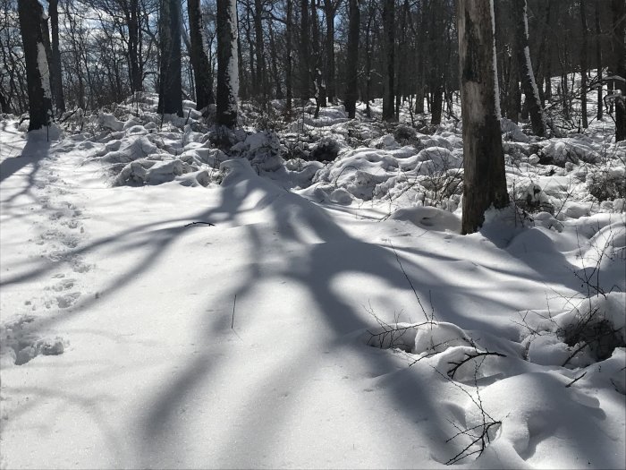
So, when I got to the head of the Tammany Fire Road trail, I decided to see how far I could make it along that route. The trail was covered by several inches of pristine untrod snow. It was irresistible, my pathway to solitude away from the crowds.

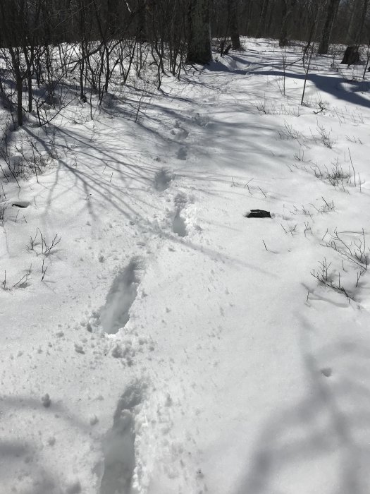
I stomped through that snow for 45 minutes making it almost a mile and a half. My toes were getting cold even in their wool socks. My thighs were on fire from marching nonstop. So I retraced my steps back to the Blue Dot trail.

The pristine untrod Tammany Fire Road
The desecrated trod-by-Snyder Tammany Fire Road

The Way Down

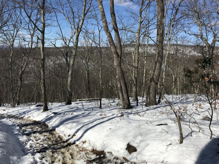
The way down the Blue Dot trail was slushy and sloppy. My thighs were on fire but I had a good run down the mountain.

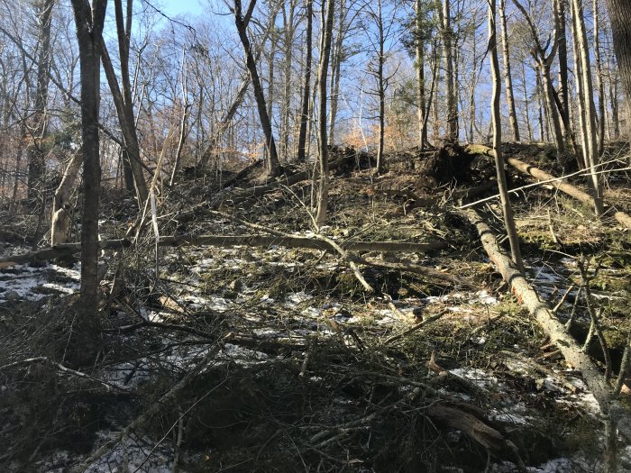
At the bottom I was surprised by the number of trees that had fallen in the storm along the Dunnfield Creek. It was quite a mess! Climbing over some of these obstacles was a challenge with my spent thighs.

I called it a day at 2 1/2 hours with 6 miles covered. I didn’t hit the 9 mile mark. The effort expended in the snow made up for the 3 missed miles.

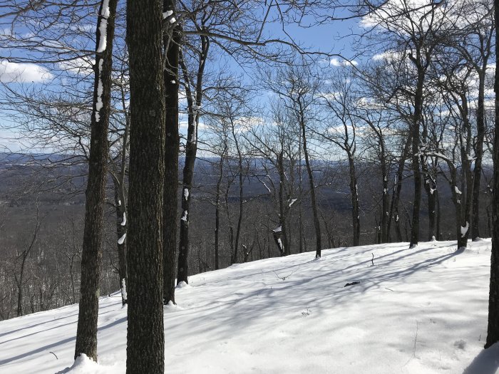
View from the Blue Dot Trail looking North to the next ridge upon which the Appalachian Trail traverses
The Blue Dot Trail along Dunnfield Creek looking up toward the AT
Along the Blue Dot Trail near Dunnfield Creek
On the Blue Dot Trail with the bridge crossing Dunnfield Creek in the background